Posted in Fun

Tucson…Two Tenderfeet and a Guide Named Pete

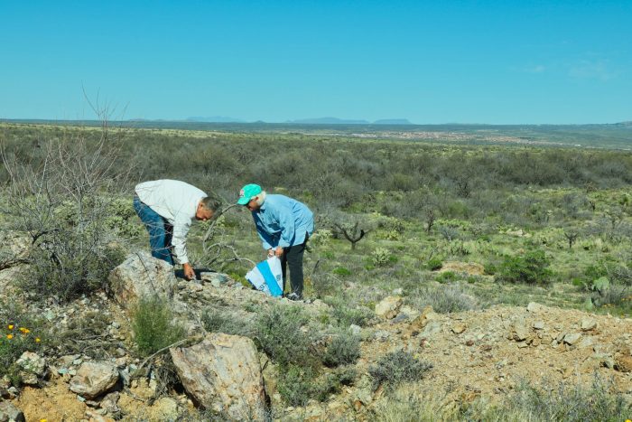
Pete, our friend and guide, shows Helen an ancient artifact

Our plans in Tucson called for camping at Davis-Monthan Air Force Base, one of the few military campgrounds that do not accept reservations. We weren’t worried however because the campground has 198 sites plus an overflow area and felt confident that there would be space for Lucy. Wrong! On the way in, Helen received a message from her friend Pete about a huge airshow scheduled during our time there and space would be very tight. He recommended Voyager RV Resort near the Base as a place to contact. It’s good to have friends.

Pickleball courts, Voyager RV Resort

It turns out that the Voyager Resort has an affiliation with the Thousand Trails organization and we obtained a membership when we purchased Lucy. Therefore, we could camp at a first-class resort for about less than the price of the Air Force Base. Learning this, we extended our stay in Tucson for two extra days. Voyager Resort has three swimming pools, dozens of pickleball and tennis courts, a pub and grill, and a laundry. We would indeed be “glamping” for the next four days.

View from Mt Lemmon, AZ overlook

Helen did her usual research and decided that on day two, we should drive to the summit of Mt. Lemmon, the highest point in the Santa Catalina Mountains at an elevation of 9,159 feet. We heard that there was snow on the ground there along with great opportunities for picture taking. The ride up was fascinating as there were Saguaro (Say-wa-row) cactus on both sides of the road up to about 4,000 feet where they suddenly disappeared. At that point, the rock formations stood out and were equally fascinating.

Rock formations–Mt, Lemmon, AZ

As predicted, we began to see snow at around 7,000 feet. Snow had fallen recently, and snow melts slowly there. The ski resort closed for the season on the day we arrived. We walked through the small ski village before beginning our trek back down the mountain. We stopped for a short hike at one overlook and grabbed a few pictures from the side of the mountain. Tucson is visible in the distance (image above).

Ski slope, Mt Lemmon, AZ

The next day temperatures were delightfully crisp and the sky a brilliant bright blue; a perfect day for a hike. Pete, a childhood friend, neighbor, and former classmate of Helen’s agreed to serve as a guide for a couple of tenderfeet from Tennessee. Pete has lived in Tucson for over twenty years and is a student of geology. He has a passion for studying the Prehistoric inhabitants of the desert and uncovering the tools, artifacts, and drawings they left behind–things that Helen and I know little about. We met at his office and drove to a private ranch north and west of Tucson in an area Pete referred to as the Chirreon Canyon. Once we left the main highway, a Diamondback rattlesnake came out to greet us. He seemed a bit miffed that we disturbed his nap, so we drove around him.

Napping rattlesnake

Pete’s knowledge of the desert and almost everything found there is remarkable. He always carries a rock hammer with him and is continually picking at the sun-baked sand while he walks. From the moment we left the car, we began to find pieces of pottery about the size of silver dollars. One part that I picked up had coloring that indicated a design of some sort painted on a pot or bowl. These pieces were everywhere around us.

Pete standing next to a Cholla cactus

Also around us were cacti of every variety including Saguaro, Cholla, and Barrel cactus. Helen, wearing only sneakers and not boots, suddenly felt something sharp on the bottom of her foot. When she removed her shoe, Pete used his knife to remove three cactus spines that had penetrated the sole. They came from Barrel cactus and served as further evidence of Helen’s tenderfoot status.
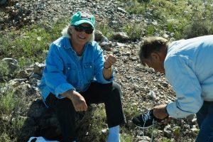
Helen holding cactus spine removed from her shoe

The ruins that we uncovered most likely came from the Hohokam (Ho-ho-kom) culture that occupied the area from around 700 to 1300 AD. The Apaches arrived about 1300 AD, and the Hohokam migrated out. According to Pete, the ceramics we found are the most defining markers of the cultures in general and the Hohokams in particular.
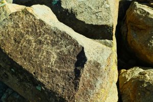
Petroglyph, probably 5,000 year-old drawing

We saw other evidence of a Prehistoric culture when Pete led us to some ancient drawings or “petroglyphs” made by ancient peoples on the large rocks in the desert. Pete said these drawings were created thousands of years before the Hohokams arrived, maybe 5,000 years earlier. We saw a faded sketch of what appears to be a horse or antelope, and another drawing of a group of men. Again, fascinating.

Petroglyph – ancient drawing of male figures

On our way out of the area, Pete suddenly stopped his car then walked to the side of the trail to pick up three rocks about the size of softballs. These are called Manos and probably came from the Hohokam period. The Hohokams used these rocks to grind grain into flour on a more massive stone called a metate. The grinding movement eventually wore one side of the Mano smooth as shown in this picture. Pete gave us one of the Manos and said it was museum quality. It will stay with us forever.

Mano – Ancient grinding stone for grain or beans
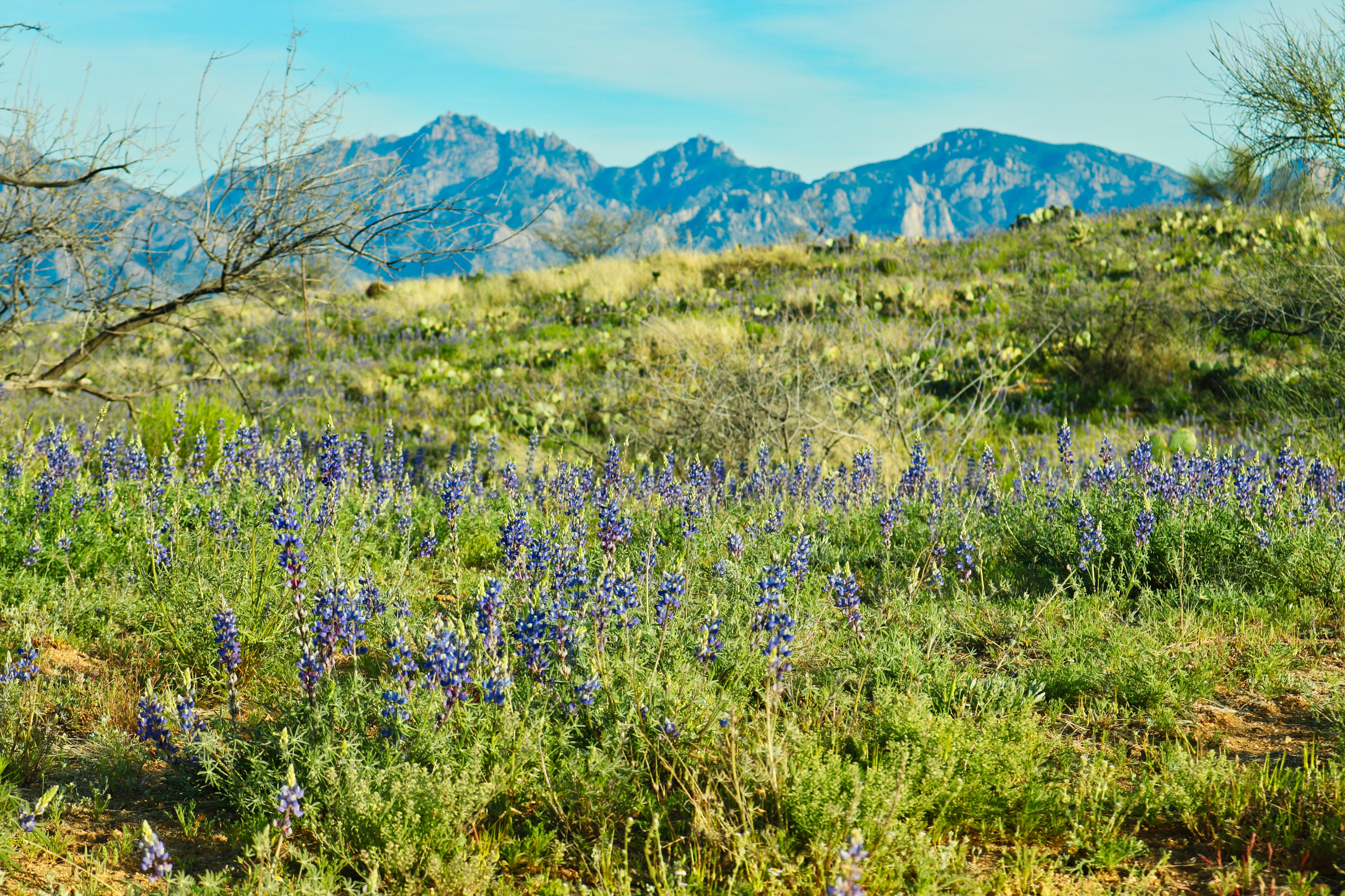
Bluebonnets

At the end of a great day, our last view of the desert was a patch of Bluebonnets along our trail. Thanks, Pete. It was great Easin’ Along with you.

Posted in Fun

We’re Easin’ Along…Fort Stockton, TX to White Sands, NM

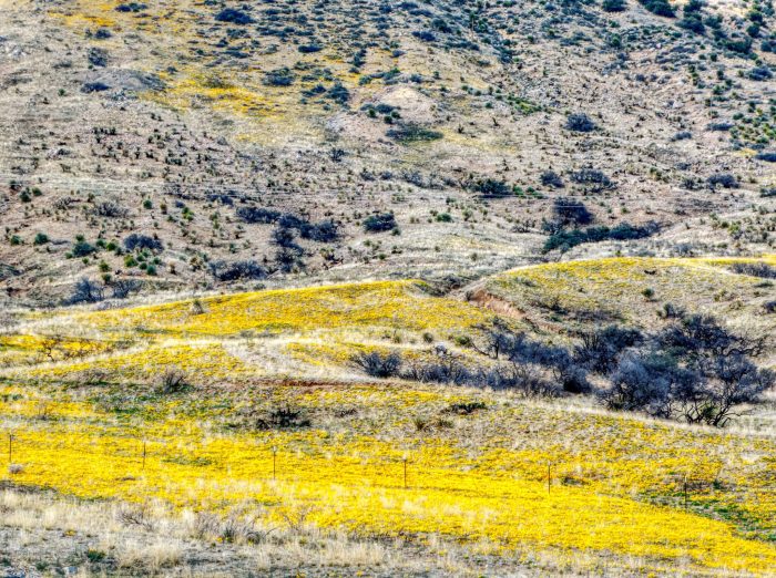
California Poppies, White Sands, NM

Del Rio was interesting and beautiful, and we were in no hurry to leave, but the time came to move on.  I always heard that Texas is big, but, until you attempt to drive across the state, it’s hard to fathom how big. Our destination was White Sands, New Mexico and a campsite at the White Sands Missile Range, but there was no way we could get there in one day.  Therefore, we booked a one night stay at Hilltop RV Park in Fort Stockton, TX, a town approximately halfway between San Angelo and El Paso.

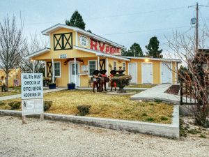
Hilltop RV Park, Fort Stockton, TX

Hilltop RV Park had the best reviews on RV Trip Wizard, and I understand why.  The Park is owned and operated by a lovely couple who were very welcoming to Helen and me.  The Park had spacious campsites, and the showers and bathrooms were spotless. That’s about all one could ask for during a one-night visit. Once we pulled in, we met Judy and Warren from Seattle who owns a fifth-wheel that is the same make as our Lucy.  Warren had a wealth of information on some of the features of Lucy that I had not yet discovered. The most valuable bit of information was a feature that resets our fifth-wheel to the precise position it was in when we unhooked and before we leveled it.  This feature allows us to reconnect without going through a bunch of steps to reset the hitch height.  Sounds trivial, but it makes a big difference on moving day.

Roadrunner, Fort Stockton, TX
Cowboys

I took three pictures in Fort Stockton; the park office, a statue of a Roadrunner, and a group of metal cowboy and Indian figures that stood on a hill across the highway. I thought they all made good pictures.

White Sands is a fantastic place and so very picturesque. All along the roads leading to the Missile Range, the California Poppies painted the desert floor a bright yellow (photo above). We stayed here two years ago on our first RV experience in Sherman. On this trip, we were assigned the same campsite on the end of the row of the eight sites there. I remember thinking on our last visit that this campground has to be the best-kept secret in the Military Campground inventory.  Only four of the eight sites were in use. As soon as we pulled in, a speedy Roadrunner greeted us.

Real Roadrunner
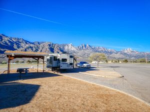
Lucy on a beautiful afternoon


The next morning, we woke early to catch the sunrise as the rays fell on the Organ Mountains to Lucy’s front. The view certainly added a pleasant experience to our morning coffee. We caught up on email and phone calls for the rest of the morning then watched our Tennessee Vols win a Sweet Sixteen game in the NCAA Tournament.


The White Sands National Monument is about ten miles from the Missile Range.  Helen wanted to hike one of the Nature Trails before dark, so we were off as soon as the final whistle sounded in the basketball game.  We arrived to find a surprisingly large crowd of tourists at the Visitor’s Center. Helen picked up a trail map and got a few tips from a nice Park Ranger.

Organ Mountains


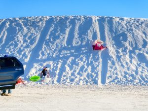
The White Sand is white gypsum that comes out of the surrounding mountains and has no place to go. Water does flow into the area, but it settles through the gypsum into the earth below, and the white, granular material settles in the valley. The winds shift the “sand” into huge dunes. Driving in, we saw a lot of kids sledding down the dunes on plastic discs.  One girl fell off her sled as she chased her friend down a dune hill and gave me a chance to take her picture.

Sledding on the sand dunes

We chose a one-mile Nature Trail about three or four miles from the entrance.  Information markers along the trail pointed out the wildlife, reptiles (rattlesnakes) and plants found in the White Sands desert and made the short hike very interesting. According to the markers, most of the wildlife came out during the night to hunt for food.  We saw only a few hawks, but the scenery was the star of the show.

Nature Trail – White Sands National Monument, NM

We left White Sands the next morning. Our visit was short, but we felt rested and ready for Tucson, AZ and a wonderful time searching for ancient Native American artifacts.  Please come back.  Until then, we’re Easin’ Along.

Nature walk

Posted in Fun

Easin’ Along Goes Crawling For the Border

Mexican border checkpoint – Del Rio, TX

We left San Antonio in search of some downtime. We needed a few days to do laundry, answer email, check on the snail mail, call family—the usual stuff that we tend to put off while on the road. Our time in San Antonio included a not-to-be-forgotten St. Patrick’s Day celebration on the Riverwalk and some fun with friends so, we were ready to slow the pace to the customary Easin’ Along crawl. We paused at a few stops during our drive to capture the Bluebonnets. Fields of them stretched out on both sides of the highway and were just gorgeous.

The next stop would be Southwinds Marina, a campground and marina operated by the Air Force in Del Rio, TX and less than a mile from the Mexican border. The road we traveled to the campground ended at the border fence, and we had to take a right turn and follow a narrow road to reach the campground. Helen (adorable wife) took a picture of the border checkpoint as we passed.

Bluebonnet
Mexican border

Southwinds Marina fit the bill. To start, the campground is in a very remote location, so there was no temptation to go looking for restaurants or shopping. The laundry room was large and offered plenty of washers and dryers for free. The scenery was outstanding. Our campsite sat in the middle of a single row of camping spaces and overlooked a dammed-up section of the Rio Grande River. After making a home in Site #10, we decided to take a walk down one of the trails leading toward the water.

Southwinds Campground – Del Rio, TX

The campground sat on a peninsula surrounded by the Rio Grande. From our spot on the trail, we could see the Amistad Dam and Mexico beyond that. We later learned that the dam crossed the border at its mid-point. The river and the Texas landscape made for some excellent photo opportunities. Sunsets over the river were stunning.

Sunset over the Rio Grande


The rest of our stay went just as we planned. We crossed many items off of our “to do” list and just relaxed. We did take a few pictures, and I have shared them below. There’s not much else to report. We leave in a few days for Ft. Stockton, TX and White Sands, NM. All is going swimmingly well, and we’re still Easin’ Along.

Southwinds Marina
Mexico in the background